
Applied Intelligence Briefing
Edge Analytics / Applied Intelligence BriefingCase study
Optimising emergency response hub locations
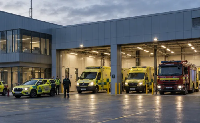
A regional UK emergency service used incident, location and drive-time data with QUEST to test response-hub configurations that balanced response times, coverage, workload and capacity.
- Client
- Regional emergency service
- Platform
- QUEST
- Purpose
- Hub optimisation
Optimised locations for faster, more resilient emergency response


The business challenge
Where - and how many - response hubs best balance speed, coverage and capacity?
Context
The service covers a large geography and responds to more than 300,000 incidents each year. It needed to test whether the existing response-hub network was configured for efficient operations without compromising service quality.
Requirement
Determine effective hub locations and network size, understand drive-time and coverage effects, and balance incident demand against workload and capacity constraints.
Method
- 01
Demand geography
Mapped incident locations and characteristics to reveal emergency and non-emergency demand patterns.
- 02
Location optimisation
Used QUEST to identify effective hub locations for alternative network sizes and drive-time objectives.
- 03
Constrained scenarios
Tested coverage thresholds, workload distribution and capacity constraints across multiple configurations.
Outputs & significance
Response hubs aligned to demand
300k+
Optimal locations
Identified alternative response-hub locations for different network configurations.
Coverage evidence
Measured the number of hubs required to achieve defined geographical and drive-time coverage.
Balanced workloads
Produced scenarios that balanced response performance, operational demand and capacity.
Significance
Location strategy balanced response time, coverage and capacity
The evidence made trade-offs transparent and gave the service a robust basis for future hub, resource and infrastructure planning.